|
21 mile intermediate route in Queens
Starts in Ridgewood and ends in Williamsburg
Destinations
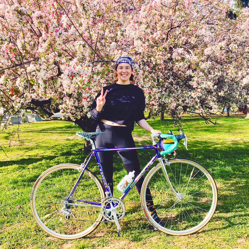
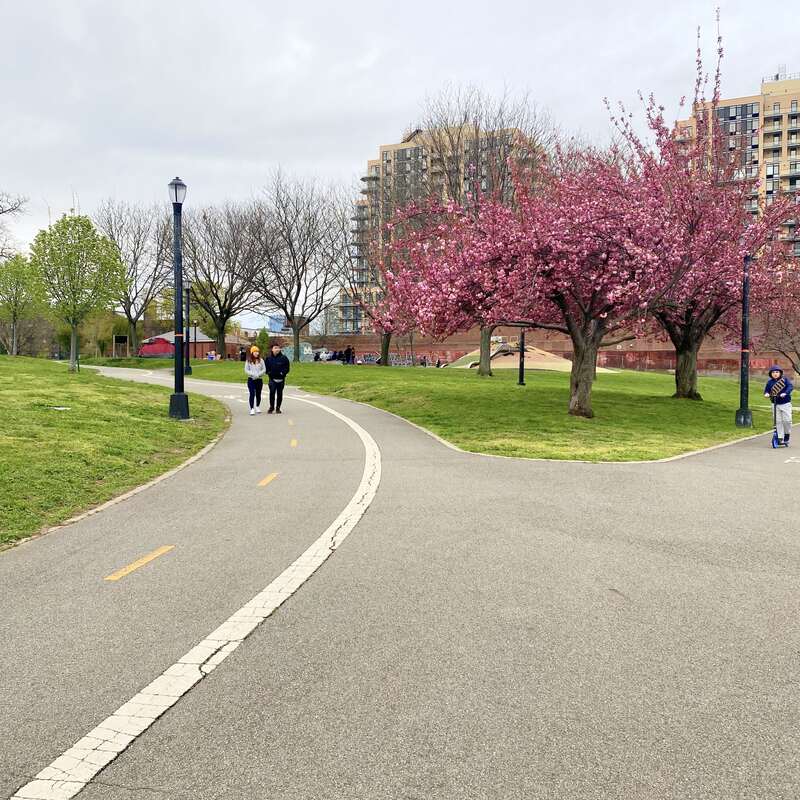
A-Grover Cleveland Park B-Forest Park C-Flushing Meadows Corona Park D-34th Avenue Open Street E-Socrates Sculpture Park F-Domino Park Ah, spring! After what felt like approximately twelve hundred months of a difficult winter, the warmer days and longer nights are finally upon us. The sunshine is beckoning even the most weather-shy cyclist out of their homes and onto the streets, and I have finally felt motivated to start riding my bike in earnest again. While I usually continue to ride through the winter, the everlasting chill and high gusts of wind last week had me cowering inside or taking the train, so the 60-degree weather on the weekend was the balm I needed to get out on a longer ride. Time to greet spring with my latest route, the 20-mile intermediate “The Many Parks of Queens Route”. True to its name the route takes you through five parks in Queens, with a bonus park in Brooklyn (add in 34th Avenue Open Street as a linear park and now you’re at seven parks!) Start at Grover Cleveland Park in Ridgewood and kick the dust off your bike on this route where trees bloom and birds sing. It’s springtime baby, time to ride!
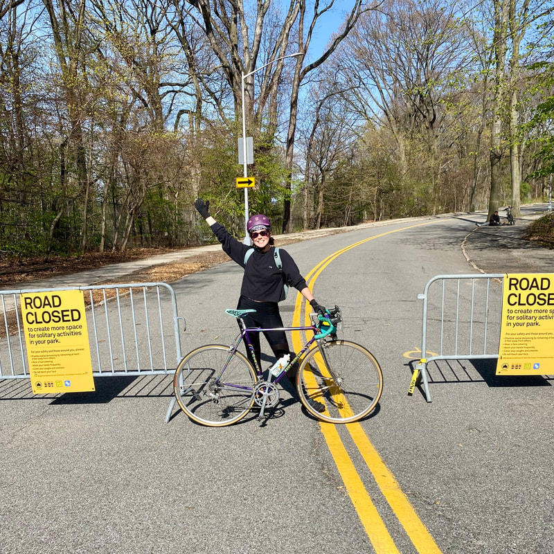
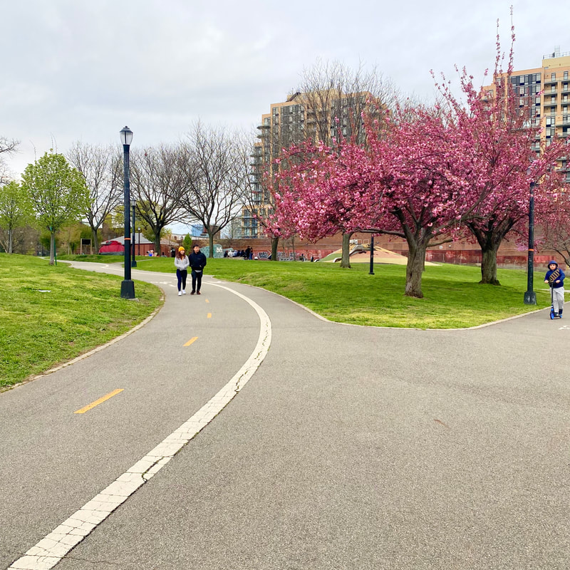
This ride starts at Grover Cleveland Park, so map yourself over to the park entrance to start your ride. From Grover Cleveland, you can take Fairview Avenue over to 67th Avenue then over to 68th Avenue. Google Maps usually suggests taking Myrtle Avenue all the way down to the park entrance, but even as an experienced rider I try to avoid Myrtle Avenue whenever possible! There isn’t a bike lane, not very much of a shoulder, and typically a lot of car traffic. We’re here for the miles and the leisurely pace, so enjoy the back route and take 70th Avenue over to Central Avenue, which then connects to 78th Avenue. (If you wanted to start your ride off with a cold one- the excellent Finback Brewery is about a block away from your entrance to the park here). Head down 79th Street for a quick left onto Myrtle for about one block, then find the entrance to the path that will take you down around to Forest Park. One of my friends introduced me to this shortcut, it isn’t well signed, but it's a large paved path right next to Forest Park Drive. (See the image to know what to look out for). You’ll take this path down under an overpass, by the golf course, and turn around to the entrance of Forest Park Drive. Forest Park Drive was designated an Open Street during the pandemic and is still currently car-free. It's a nice ride all the way through Forest Park, at the end you will pop out in Kew Gardens.
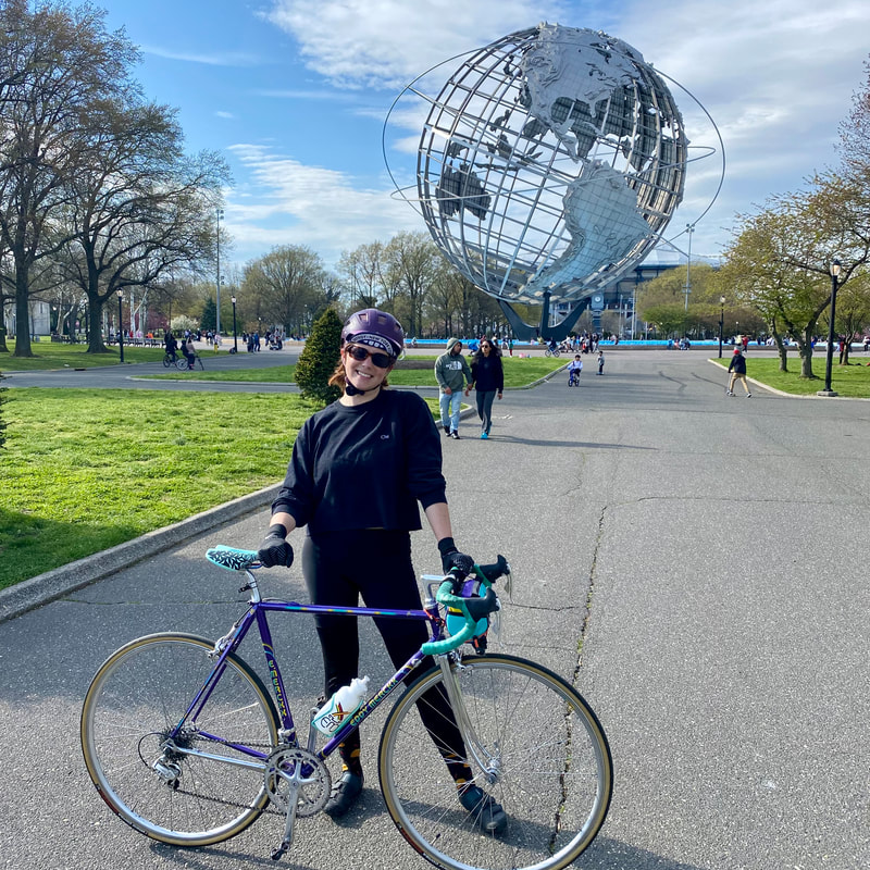
Once you arrive in Kew Gardens, you’re on the road a bit until you hit the entrance of Flushing Meadows Corona Park. I wanted a safer way to access Flushing Meadows Park, so I devised this route by looking closely at the bike infrastructure on Google maps. When I was riding, I was surprised to see NYC Brooklyn Queens Greenway medallions along the route I chose, indicating that these bike lanes are part of a Greenway network in the area. Turns out this Greenway had been planned as a 40-mile route connecting Coney Island to Fort Totten planned under Mayor Bloomberg. See this document for more information about the Brooklyn Queens Greenway. As a bicycle planner, it was really cool to use this Greenway connection, as it was a pretty easy way to get from Forest Park to Flushing Meadows, and had clearly been thoughtfully devised as a safe passage between these two great parks. To follow the Greenway route, take a right onto Park Lane, a left onto Onslow Place, a short right onto Grenfell Street, and a quick left onto 82nd Avenue. Then turn right onto Kew Gardens Road, left onto 83rd Avenue (which then turns into Hoover Avenue). Then take a left onto Main Street, another left onto 77th Road, right onto 141 Street, left onto 77th Avenue, and right onto Park Drive East. From Park Drive East, take a left onto Jewel Avenue to access the park (there is some clear signage here as to where the entrance is, so don’t just keep going onto the highway on-ramp!). When you’ve arrived in the park, you can do a loop of Meadow Lake for a few more miles, or you can continue up north to Citi Field.
After you’ve enjoyed Flushing Meadows Corona park for a bit, bike up through Citi Field (it wasn’t a game-day when I was there, so the parking lot wasn’t crowded, but you might want to check the schedule before going through there!) At the northwest corner of the Citi Field parking lot, there is a ramp that will take you over to 34th Avenue. Be aware here that the oncoming cars don’t have a signal to stop, so make sure to wait until there is a clearing. Bike down 34th Avenue, and enjoy our newest linear park that has emerged out of the pandemic. 34th Avenue is definitely the gold standard of Open Streets in the city, it is so great to see it being well-used and loved by the community. It’s also great to be able to bike down a street free of car traffic! Once you’ve taken in the sights of 34th Ave, turn off of 34th Avenue at 70th Street and turn onto 31st Avenue, parts of which are also an Open Street. Take 31st Avenue down to Vernon Blvd, where you can either stop by Socrates Sculpture Garden or keep on going on the protected bike lane on Vernon Blvd. My favorite part of the protected bike lane on Vernon Blvd is definitely the part where the bike path goes through Rainey Park and Queensbridge Park, so make sure you take the turns off into the parks for a little extra scenery. To read more about the section of the route, see my Perfect Beginner Bike Waterfront Route.
To finish up the route, turn onto 44th Drive and take a right onto 11th Street. 11th Street will take you right over to the entrance to the Pulaski Bridge. Head over the Pulaski, take a quick right onto Freeman Street, and then take Franklin Street over to Kent Avenue, which you can take down to Domino Park and enjoy some tacos at Tacocina or enjoy the sunset. You deserve it!
0 Comments
Leave a Reply. |
Hi! I'm Rachel.I'm creating curated bike routes in all 5 boroughs of NYC. Routes include downloadable route map, descriptions of the bicycle infrastructure, and suggestions on places to eat and things to see. Enjoy! |

