|
12 mile beginner route to Coney Island
Starts at Grand Army Plaza and ends in Midwood Destinations A- Grand Army Plaza B- Coney Island Luna Park C- Village Cafe
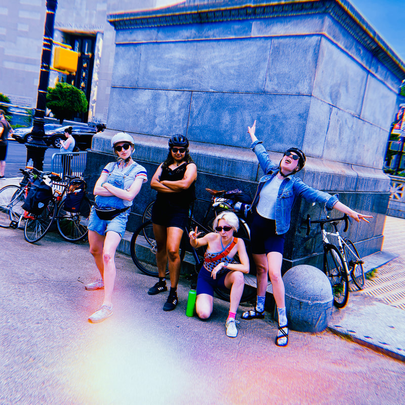
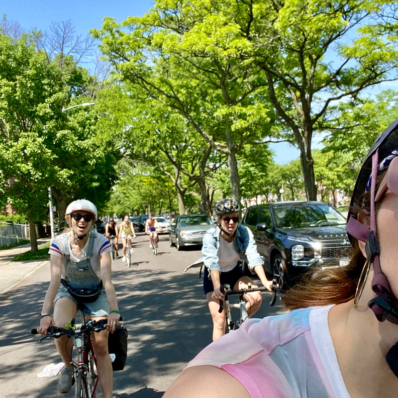
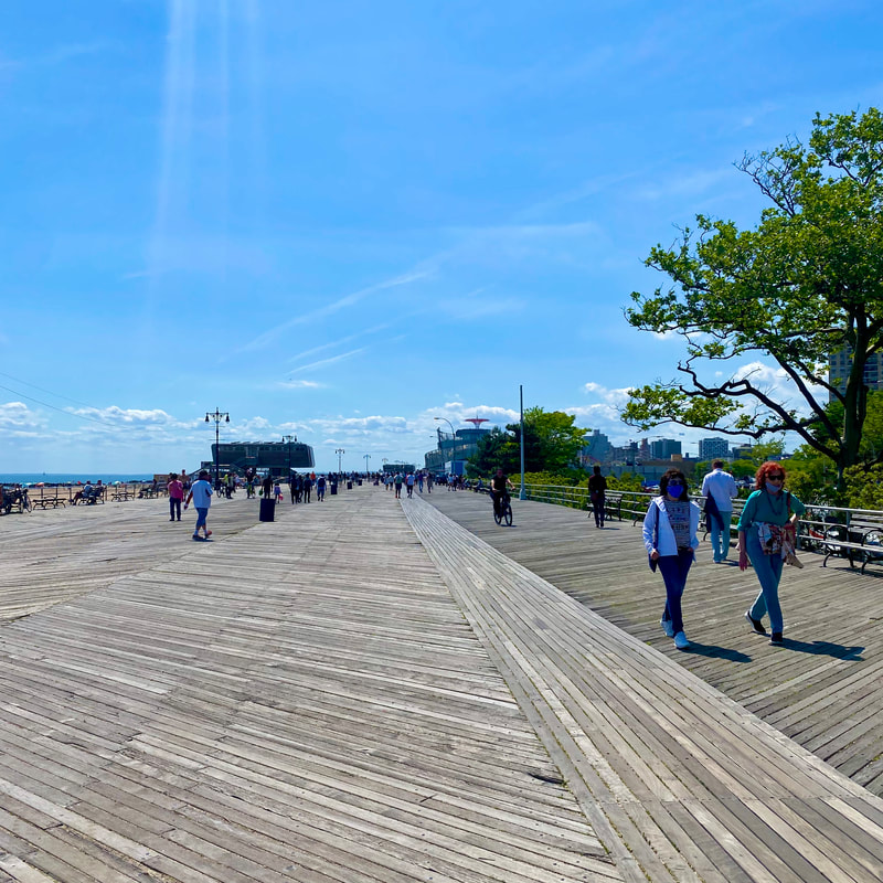
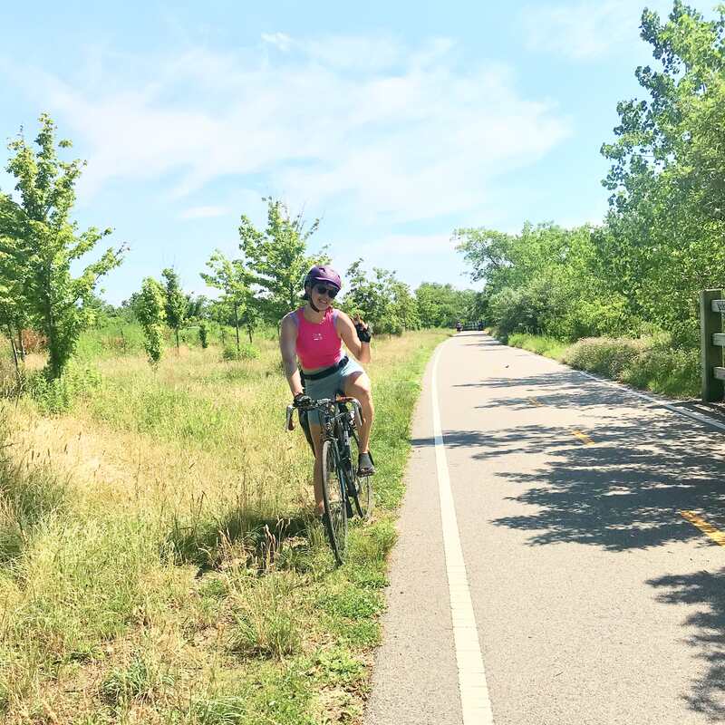
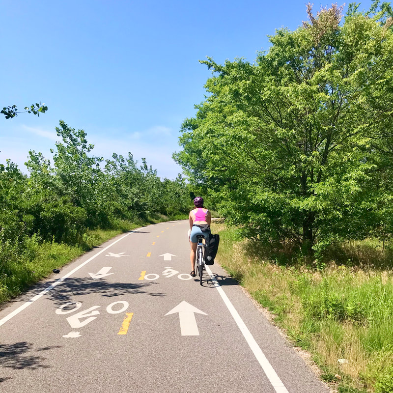
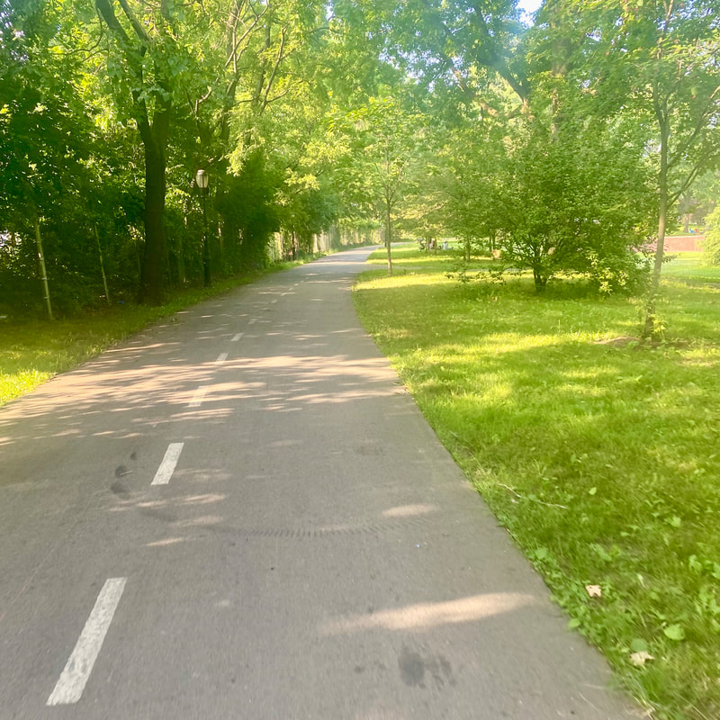
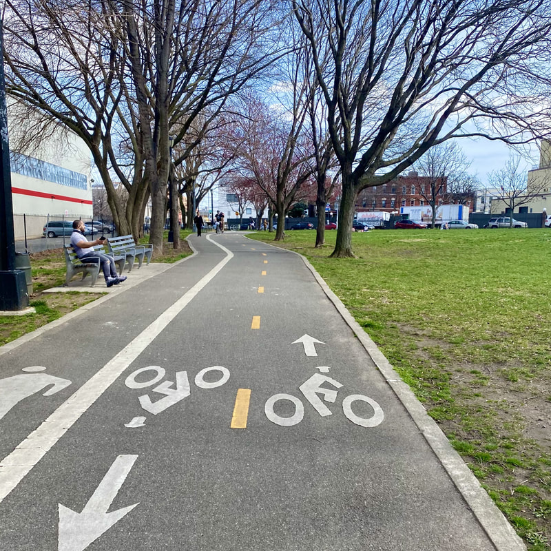
In today's blog post, I seek to answer the age-old question..is Ocean Parkway still rideable?? This query has been pondered by both casual and experienced cyclists for ages, and I was curious to figure it out on my way down to Coney Island recently. For those who don't know, the idea for a tree line avenue that connected Prospect Park to Coney Island was conceptualized by famed landscape architects Fredrick Law Olmsted and Calvert Vaux back in 1866. FLO, as us admirers call him, is the man who brought us Central Park and Prospect Park..this dude knew what was up! (Fun fact: FLO was born in the same town as me, Hartford, CT). Ocean Parkway was originally intended as a green corridor that would connect residents from central Brooklyn to the beach, with sections of the corridor designated for "pleasure driving" (hilarious to think about anything about driving in NYC today described as pleasurable..but this was horse and buggy time), pedestrian strolling, and local traffic. The city purchased the land to build the five-and-a-half-mile parkway in 1868, and in response to Brooklyn’s growing interest in cycling, FLO widened the pedestrian esplanade to accommodate cyclists. In June of 1894, the country's first bicycle path was installed on Ocean Parkway, where it still exists to this day. Purportedly, the bike lane designation was so popular that over 10,000 cyclists attended opening day, even though cyclists were only allowed to bike at 12 mph to combat bike racing (though how they possibly tracked this beats me…).
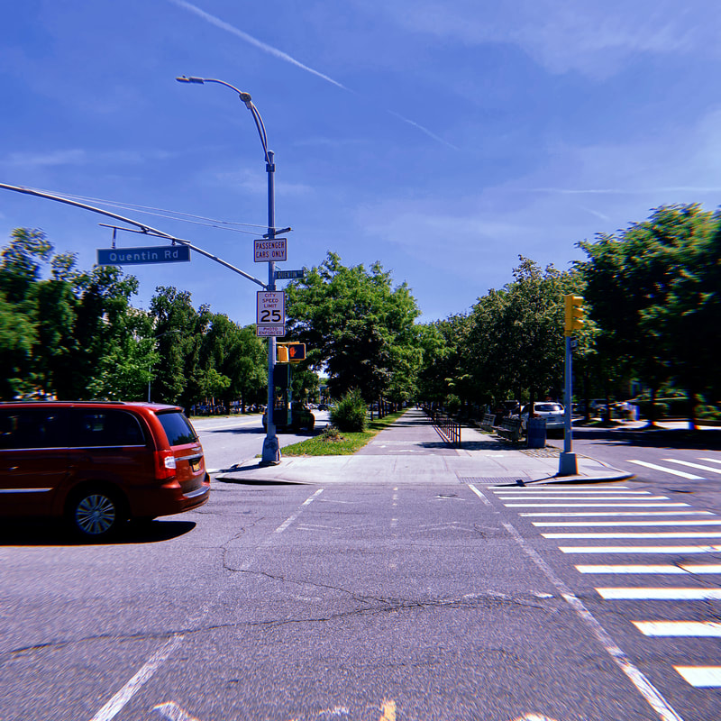
In 1975, Ocean Parkway was designated a scenic landmark after our favorite urban planning villain Robert Moses reallocated a portion of the northern most section for the Prospect Expressway in the 1950s. The parkway used to start at directly from Machate Circle, and now you have to be sure not to miss the entrance off of Church Avenue, but historic preservation ensured that future New York City cyclists can enjoy this tree lined avenue for future years to come. Now at 128 years old this once youthful beauty is showing its age, leading many a thin tire fearing cyclist to ponder, is it still worth riding on?
0 Comments
21 mile intermediate route in Queens
Starts in Ridgewood and ends in Williamsburg
Destinations
A-Grover Cleveland Park B-Forest Park C-Flushing Meadows Corona Park D-34th Avenue Open Street E-Socrates Sculpture Park F-Domino Park Ah, spring! After what felt like approximately twelve hundred months of a difficult winter, the warmer days and longer nights are finally upon us. The sunshine is beckoning even the most weather-shy cyclist out of their homes and onto the streets, and I have finally felt motivated to start riding my bike in earnest again. While I usually continue to ride through the winter, the everlasting chill and high gusts of wind last week had me cowering inside or taking the train, so the 60-degree weather on the weekend was the balm I needed to get out on a longer ride. Time to greet spring with my latest route, the 20-mile intermediate “The Many Parks of Queens Route”. True to its name the route takes you through five parks in Queens, with a bonus park in Brooklyn (add in 34th Avenue Open Street as a linear park and now you’re at seven parks!) Start at Grover Cleveland Park in Ridgewood and kick the dust off your bike on this route where trees bloom and birds sing. It’s springtime baby, time to ride!
36 mile advanced route to Ridgewood, NJ
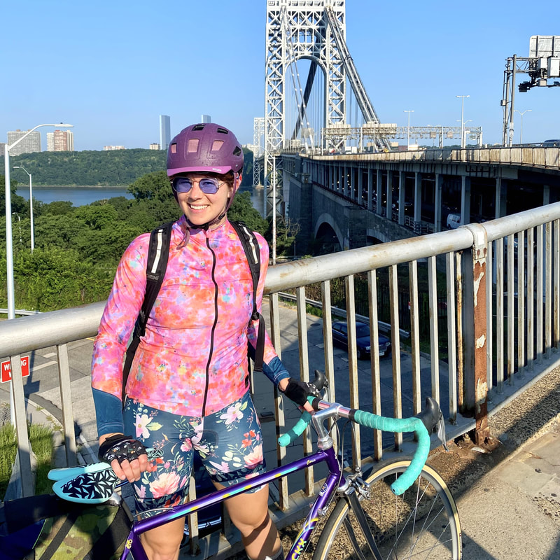
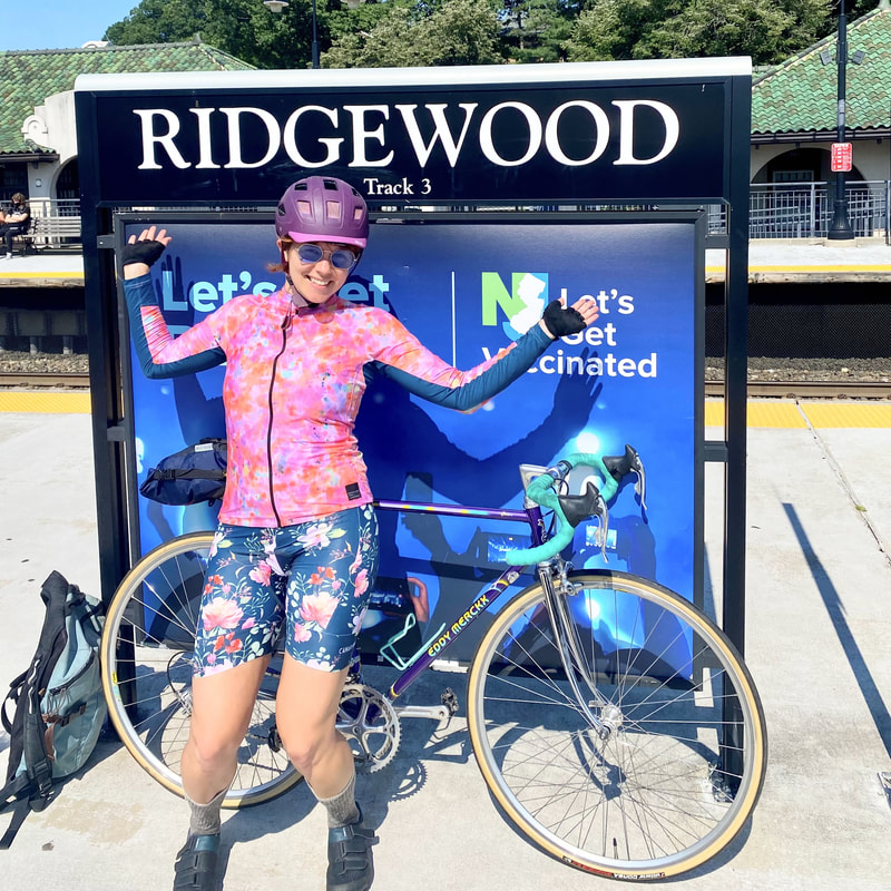
Starts in Ridgewood, NY and ends in Ridgewood, NJ. Take NJ transit from Ridgewood, NJ to Sloatsburg, NY to get to Harriman State Park. Destinations: A- Normas Corner Shop B- Bagels on the Square C- George Washington Bridge D- Saddle River County Park- start of Saddle River Bike Path E- American Bulldog Coffee Roasters F- Ridgewood, NJ Transit Station Harriman State Park is a beautiful nearby location ideal for picturesque biking, but getting there can be an intimidating prospect for the everyday cyclist. Generally, the idea of biking to Harriman evokes images of rolling hills and intense bikers crushing intimidating climbs on their carbon fiber frames (at least for me it does!). As I grow on my biking journey, I have been thinking of creative ways to bike to Harriman while avoiding any serious grade changes. My "Hacking Harriman" series started with "The Best Upstate Downhill Route" which suggests taking NJ transit to Harriman Station for a leisurely downhill ride on Seven Lakes Drive. This route is slightly more ambitious, a 36-mile journey that will get you the majority of the way up to the park from New York City. The Ridgewood to Ridgewood Route takes you from Ridgewood, Queens to Ridgewood, New Jersey, where you can hop on NJ transit to Sloatsburg, NY, and finish your journey up to Harriman State Park on Seven Lakes Drive. Strap on that saddle bag and get ready for some coasting and minimal climbing up to gorgeous Harriman State Park.
13 mile intermediate route
Starts at Maria Hernandez Park ends at Jacob Riis Beach Destinations: A- Maria Hernandez Park B- Rudy's Bake Shop C-Jacob Riis Beach It's summertime, and there is no better place to ride your bike on a hot day than the beach! For me, the joy of the beach bike ride is more about the ride to the beach than it is about the beach itself. Either way, the goal is a bike trip to the beach that leaves you refreshed instead of frazzled! The Best Route to the Beach route avoids multi-lanes roads, ensuring a relaxing, meandering route to the beach. You will travel 13-miles North Brooklyn to Jacob Riis Beach on the Jamaica Bay Greenway. The Jamaica Bay Greenway is a New York City gem, and riding on it is by far one of my favorite summer activities. Biking on the greenway during the peak of summer, I always feel transported to a small coastal beach town. The leaves and wildflowers in full bloom on the path create an experience unmatched in NYC. (It usually helps if you ignore the Belt Parkway to your left!) Pack up that pannier with a beach towel and some sunscreen, because it's time to bike to the beach!
22 mile advanced route
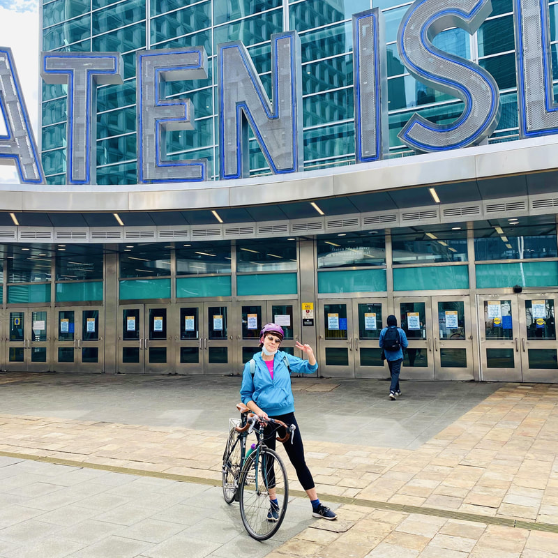
Starts and ends at the St. George ferry terminal Destinations: A- St. George Ferry terminal B- Snug Harbor Cultural Center C- New Springville Greenway D- LaTourette Park Greenway E - Nacho Mama F- The Flagship Brewing Company
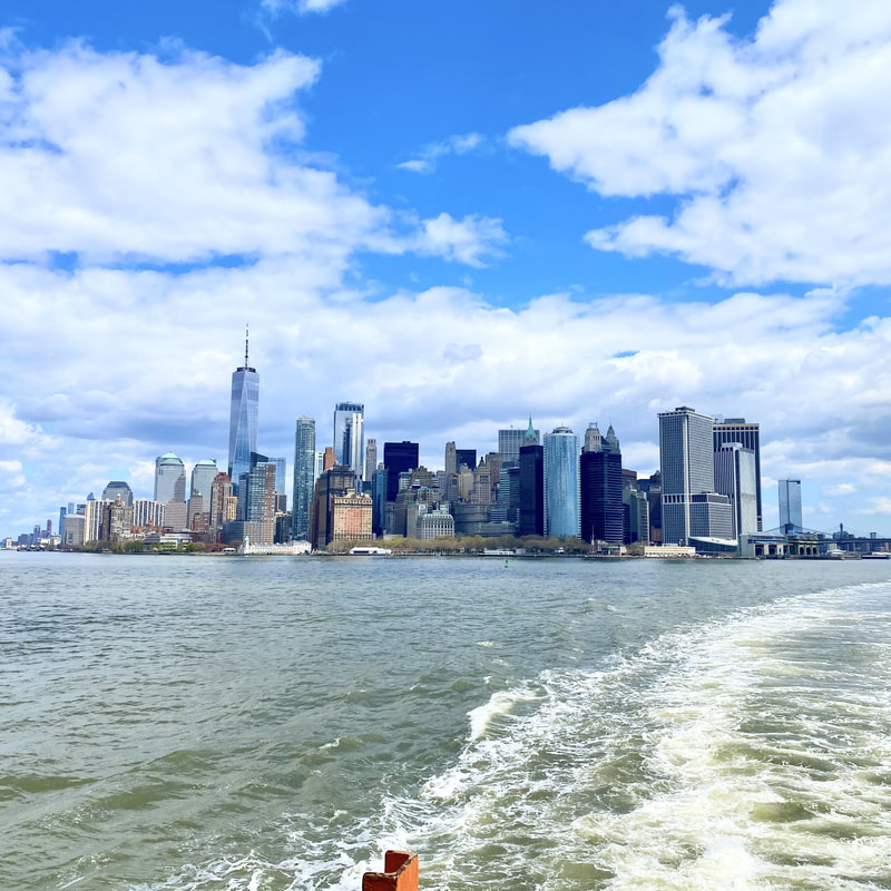
While sometimes Staten Island feels like a world removed from the other 4 boroughs, the fifth but not forgotten borough has a lot to offer in terms of culture and car-free biking infrastructure. My fondness for Staten Island started when I was interning in the wayfinding unit at the Department of Transportation and tasked with researching cultural landmarks to put on the maps. Through my research, I discovered that Staten Island has the largest Sri Lankan population outside of Sri Lanka, discussed in the North Shore route, a beautiful botanic garden and cultural center at Snug Habor, a museum of Tibetan art, multiple large parks and greenways throughout the borough, and so much more! In pre-pandemic days Transportation Alternatives would put on the "Tour de Staten Island" in April, an event I've had fun participating in for a few years. With bike tours on pause, I decided to craft my own Staten Island route to visit some Staten Island favorites, and to find some new ones! This route is rated advanced both because it is a longer route, but also because certain parts of the route are on streets without bike lanes with fast-moving car traffic. While I do love exploring Staten Island, it is a car-dominated place with limited street cycling infrastructure, which is it makes it difficult to access the beautiful parks and bike paths more central in the island. I recommend taking a buddy or two on this route, taking it slow on the bike-lane-free streets, and taking your time to explore the park paths and surrounding green space when you arrive. Hop onto that ferry for some Staten Island biking time!
6 mile intermediate route
Starts at McCarren Park, ends on Roosevelt Island Destinations: A- McCarren Park B- Queensbridge Park C- Roosevelt Island- Southpoint Park D- Roosevelt Island- Four Freedoms Park E - Roosevelt Island - The Cafe at Cornell Tech
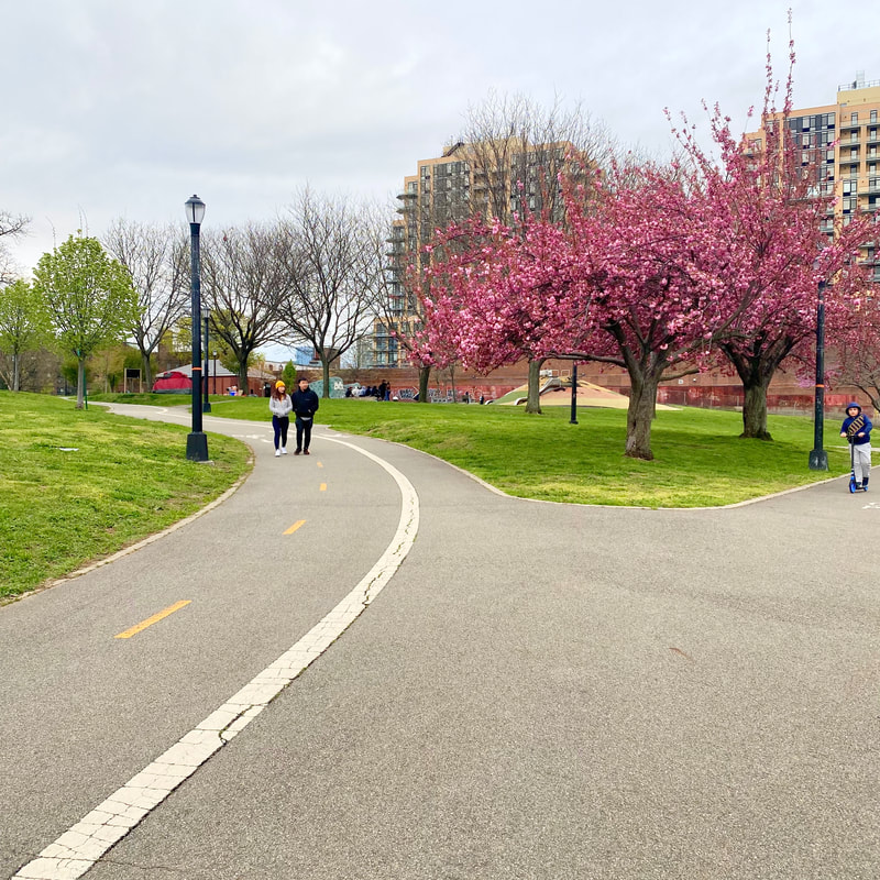
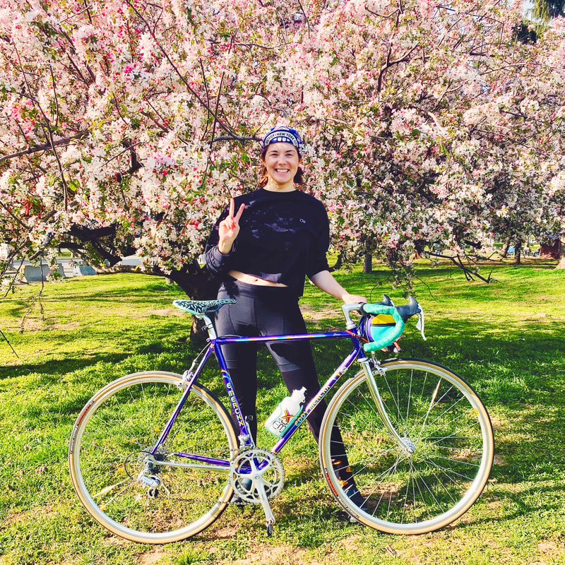
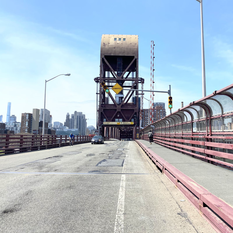
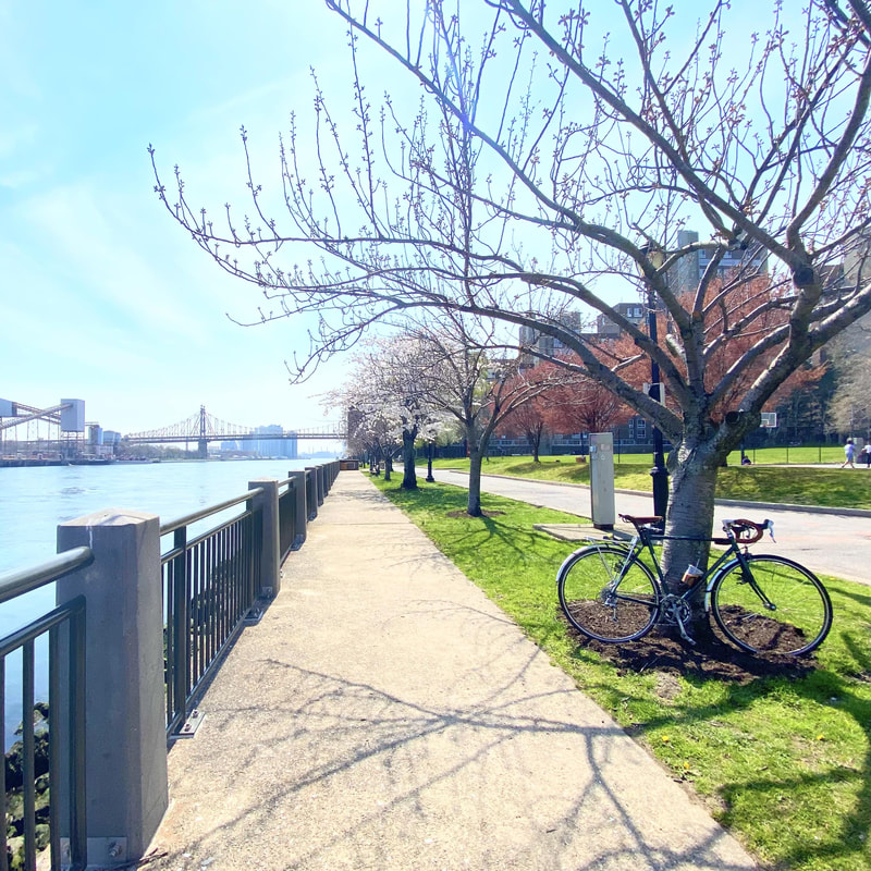
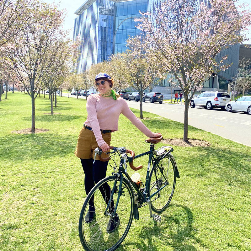
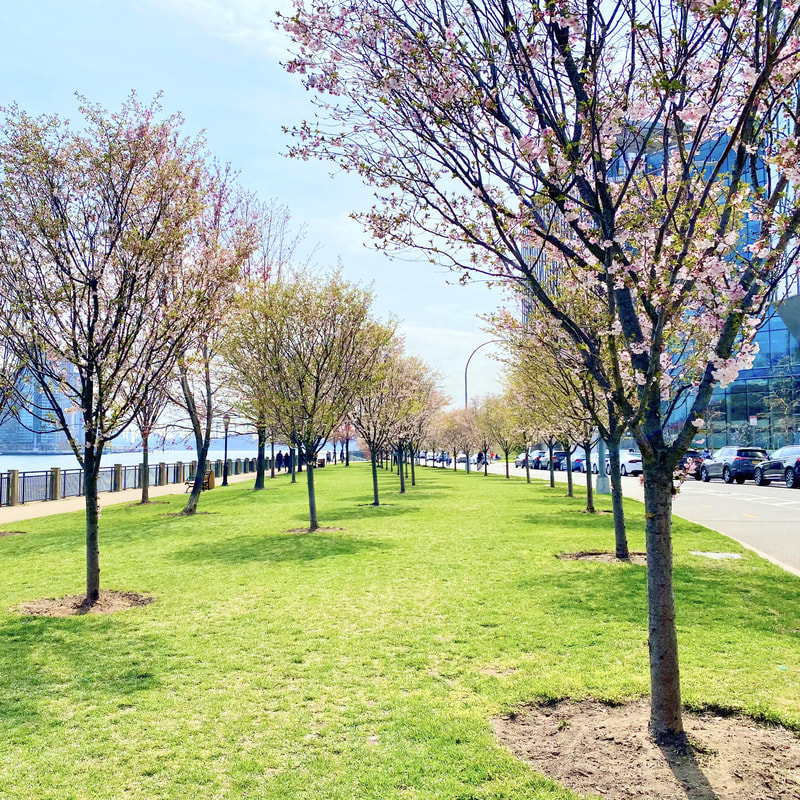
While DC might be known for its cherry blossoms, don't think you need to travel out of state to see some peak blooms this year. New York City has blossoms to rival the best of them, and in multiple locations all around the city. If you weren't able to grab tickets to get your peep on at the Brooklyn Botanical Garden this year, fret not because there are plenty of places you can cozy up to some pink flowers without a reservation. Before the pandemic, I never went out of my way to soak in the sights of the flowering cherry blossom trees. Things have changed this year, and a bike ride to enjoy these fabulously pink petals seemed like a great way to spend a sunny weekend day. This route plays off of the Perfect Waterfront Route I last posted, both because it is a convenient ride from where I live in Ridgewood, but also because it is a great route to enjoy spring! I took a different friend on the ride this weekend and she was in awe of the park paths that are currently lined with all types of blooming flowers. On this route, instead of going up to Astoria, head over to Roosevelt Island via the Roosevelt Island Bridge and start your exploring! Hop into the saddle and pedal yourself to some petals!
11 mile beginner route
Starts at McCarren Park, ends at Greenpoint Beer and Ale Destinations: A- McCarren Park B- Queensbridge Park C- Rainey Park D- Socrates Sculpture Park E- Shore Blvd Open Street F- Astoria Park G- Greenpoint Beer and Ale
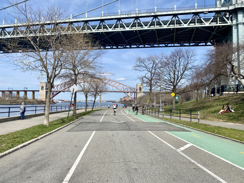
The best season is upon us, it's biking season! After a long slog through what some (read: me and everyone I know) would probably describe as the worst winter in modern society, the sun has started staying out longer and the temperatures are rising. All signs point to an ideal time to start thinking about where you are going to be biking every weekend, and on that front, Rach Bikes NYC has you covered. This past weekend I designed a route for a trepidatious biker who lives in Greenpoint, a friend whose previous bike rides consisted of a few blocks around the neighborhood. In my effort to think of a fun ride that would feel safe and inviting for a newbie rider, I crafted this route that meanders throughout 5 parks in Long Island City and Astoria. I love this route for many reasons, but first off because it is really one of the most relaxing rides I can think of in the city (if you live in Greenpoint, I suppose), but also because it merges together all the things I love about NYC- waterfront views, bike paths through parks, 2-way protected bike lanes with painted barricades, sculptures in parks, and the endless options for delicious food and beverages. Even in a pandemic city, our city manages to find ways to supply joys on some of the first warm days of the spring season. So pump some air into those flattened tires and lube up that rusty chain, it's biking season baby!
7 mile beginner route
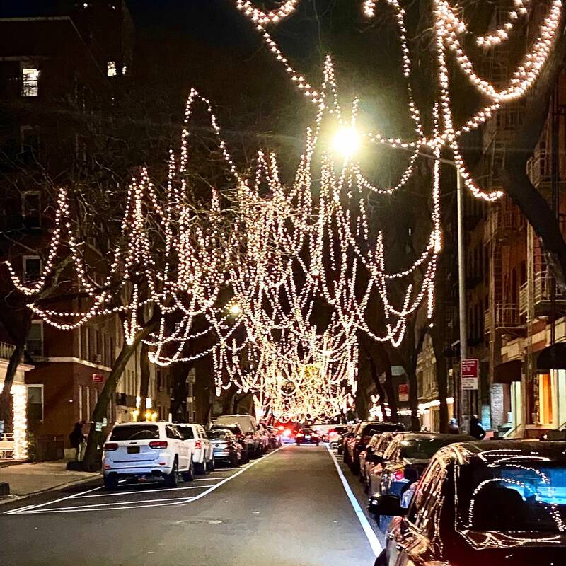
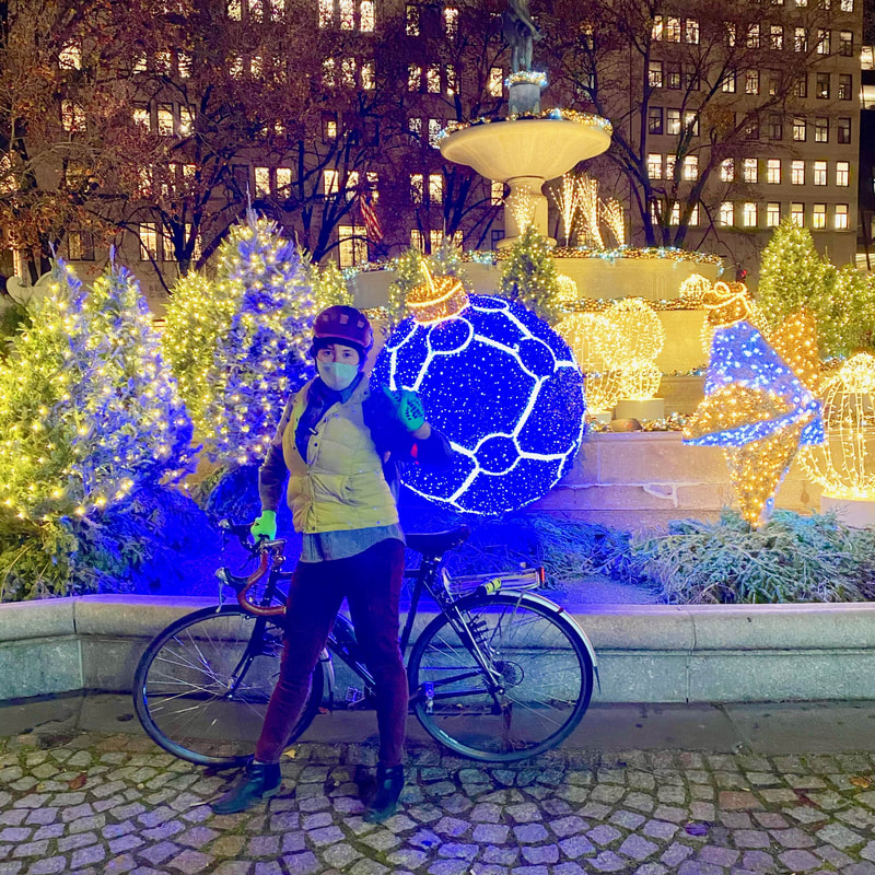
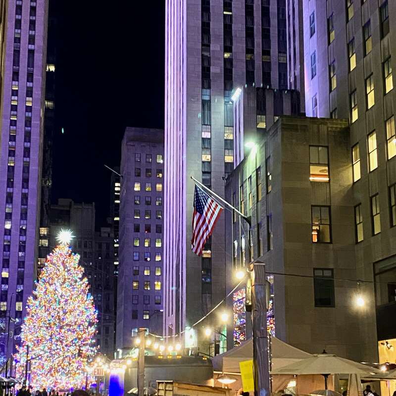
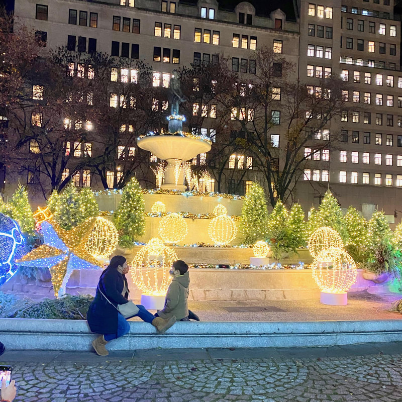
Starts at Columbus Circle, ends at the New York Stock Exchange Destinations: A- Columbus Circle B- The Plaza Hotel C- Rockefeller Center D- Saks Fifth Avenue E- New York Stock Exchange The weather outside may be frightful, but the bright light displays in Manhattan are still delightful! While those looking for a dazzling holiday lights display might attempt to trek down to Dyker Heights, this ride is a slightly more attainable short route that can be completed in under an hour - great for these colder days and beginner riders. A quick sidebar on this route- it was inspired by a group ride that I attended, and my original intention was to write up this route and plug this group as a great place for bikers who would prefer to ride together. However, I ending up leaving the ride and completing a different route, the one shown here. This ride got off to an uncomfortable start as the group was running lights at a fast clip and not staying together, a jarring experience for even me, as a city rider with lots of group riding experience. The ride escalated about 10 minutes in when one of the members hit a pedestrian and proceeded to throw their headphones at a car after they had gotten up and left. Instead of an enjoyable group ride, I was left completely shaken by this experience. I'm relaying this incident not to scare people off of group rides, but rather to encourage anyone that leads a group ride to be more cautious and to encourage any group rider to leave if they do not think a ride is being done with everyone's safety in mind. Also, if you are trans, non-binary, queer, or an allied cis woman, you should definitely check out Nightcap for group rides. I went on one of their rides over the summer and it was an empowering experience with people who took care, time, and effort to ensure the safety and comfort of all participants.
8 mile beginner route
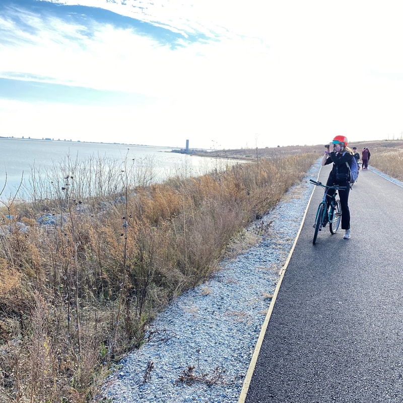
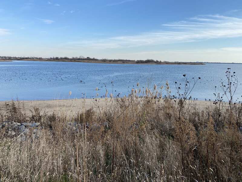
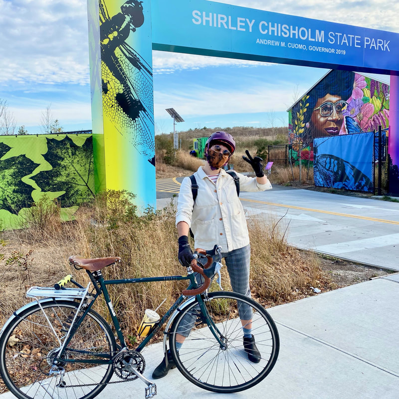
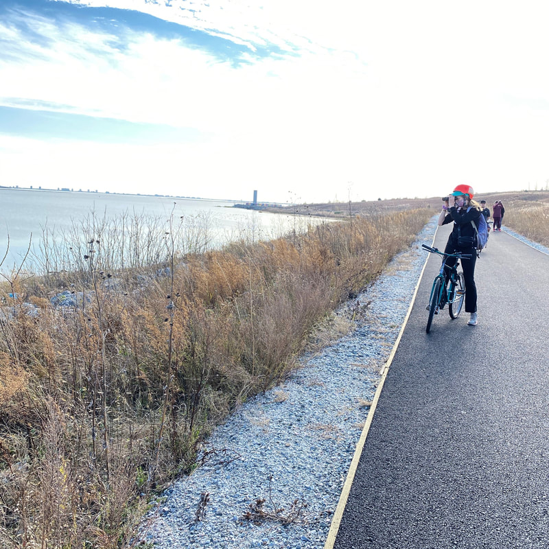
Starts at Van Siclen Ave Station, ends in Flatlands, Brooklyn. Destinations: A- Van Siclen Ave Station B- BKLYN Blend Livonia C- Shirley Chisholm State Park D- Canarsie Park E- Palermo Pastry Shop F- Dolly's Ices Downloadable turn-by-turn directions from Bike Map Who doesn't love a landfill that has been turned into a delightful oasis for park starved New Yorkers? Something that I truly appreciate about this city is the ingenuity in transforming some of our unused landmasses into a place for all to enjoy, and Shirley Chisholm State Park definitely fits the bill of a great utilization of underused space. This was my first time exploring this former landfill transformed into a state park, and it was a fantastic experience. The state park is 130 feet above sea level and offers unparalleled views of the city, great bird watching opportunities, and paved and gravel paths for a variety of bike exploring (or bike skidding if you have thin tires like me). And as it wouldn't be a Rach Bikes route without some tasty food options, this route offers you three places to taste the flavor of East New York and Flatlands. If you are looking to check out a great State park while filling up on tasty treats and enjoying some protected bike infrastructure in Jamaica Bay, this is the route for you!
20 mile advanced route
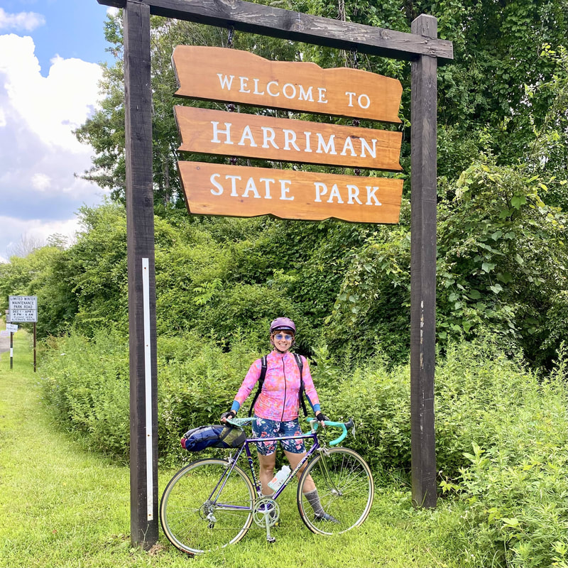
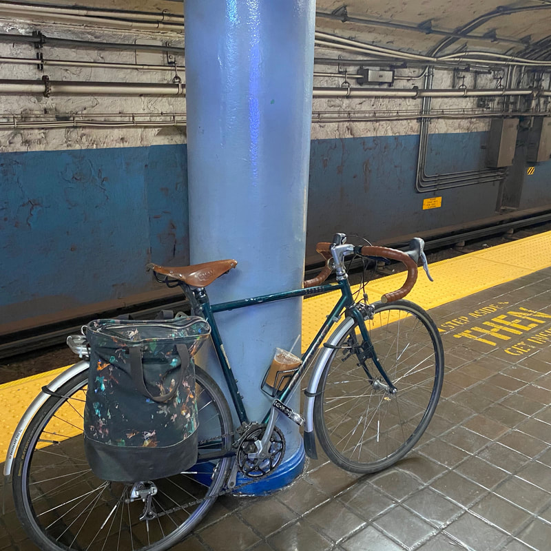
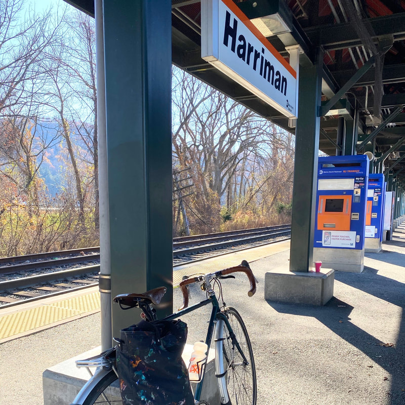
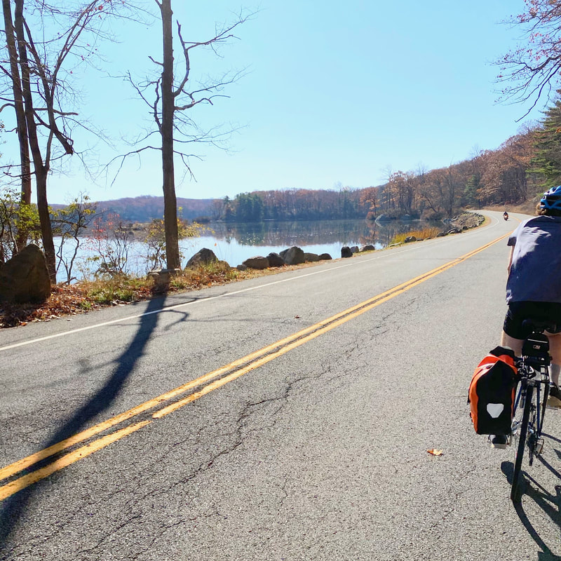
Starts at Harriman Train Station, ends at Sloatsburg Train Station. To start this route from the city, choose the PATH station closest to you! Destinations: A- Harriman Train Station B- Elk Pen (Direction marker) C- Tiorati Lake Recreation Area D- Valley Rock Mountain Market E- Seven Lakes Staion F- Sloatsburg Train Station Downloadable turn-by-turn route through Bikemap. Oftentimes when I think about upstate riding, I envision packs of fit cyclists wearing matching Lycra outfits on their fancy carbon fiber frame bikes crushing mileage on some hilly terrain. This image has been held in my mind for the many years I have been a casual city cyclist, and it created a belief in me that I would not be able to hack it upstate on my somewhat heavy steel frame. As hanging out in NYC and venturing not too far out of the city have become the only viable options for entertainment this year, I figured this was also the year that I should start crushing some upstate mileage of my own and that I can indeed hack it if I hacked the ride to be a little less "Lycra person" and a little more "casual city rider also likes crushing it". This route is just that, a nice hack for someone who wants to do a ride a reasonable amount of miles while enjoying some nature and scenic views, all while going downhill (well, maybe except for the first part). So pump up those tires and load up your metro card (and maybe download the NJ Transit Ticket app), because it's time to take your bike to Harriman State Park! This route was inspired by this post on the My Harriman blog, a great resource for all things Harriman. |
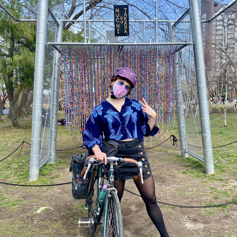
Hi! I'm Rachel.I'm creating curated bike routes in all 5 boroughs of NYC. Routes include downloadable route map, descriptions of the bicycle infrastructure, and suggestions on places to eat and things to see. Enjoy! |

